

Civil 3D
Civil · Transportation
Autodesk's dedicated software for civil infrastructure design.
Course Quick Info
| Duration | 1.5 Months |
|---|---|
| Mode | Classroom at KPHB + Online Available |
| Certificate | Industry-recognized completion certificate |
| Placement | Placement Assistance — Highway / Land Development / GIS Firms |
| Who Should Join | Civil engineers, diploma holders, land surveyors, students targeting road/highway/GIS roles |
Why Civil 3D?
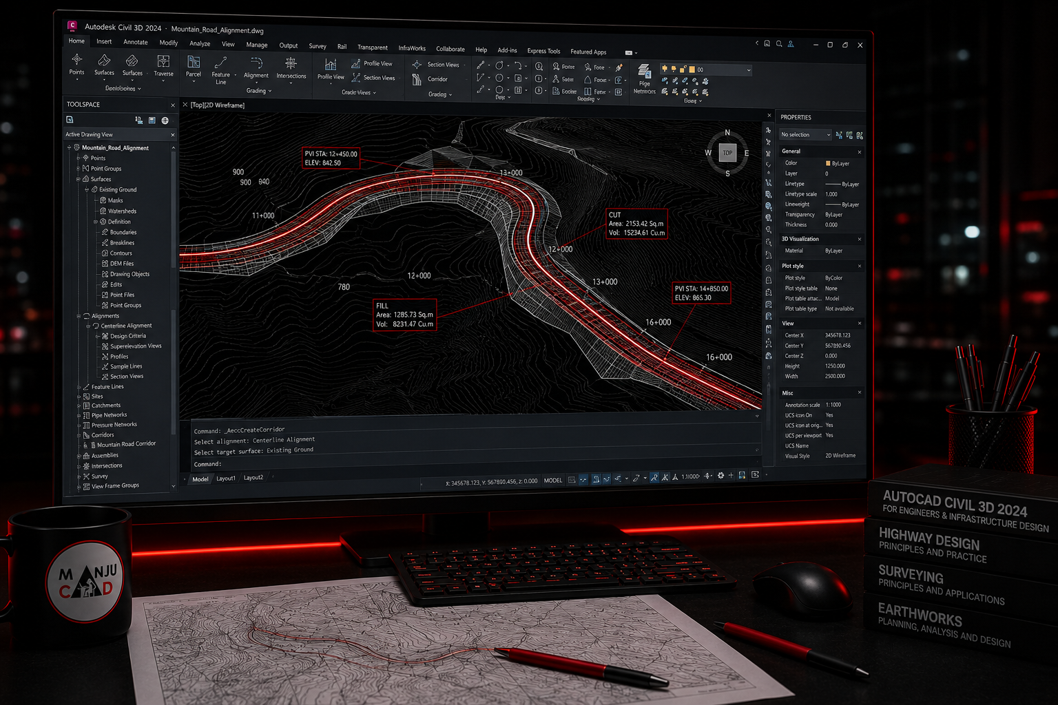
Civil 3D is Autodesk's dedicated software for civil infrastructure design — roads, highways, land development, water/sewer networks and site grading. Unlike standard AutoCAD, it works with intelligent, dynamic 3D models, so when survey data or design parameters change, all related drawings, profiles and quantities update automatically.
Curriculum
Course Syllabus
8 modules
- Interface, object styles, points and point groups
- Creating surfaces from survey data, contours, TIN surfaces, and surface analysis
- Horizontal alignment design, profile creation and design criteria
- Assemblies, subassemblies, and corridor design for roads
- Cut/fill analysis, grading and quantity takeoff
- Storm water and sewer network design, pipe and structure rules
- Grading for plots and site development layouts
- Automated plan/profile sheets, labelling and output drawings
Career Opportunities
- ✓Civil 3D Designer
- ✓Highway Design Engineer
- ✓Land Development Engineer
- ✓Infrastructure Drafter at road/highway EPCs, urban infrastructure consultancies, survey/GIS firms
Frequently Asked Questions
No — it's also used for site development, land subdivision, water/sewer networks, and grading, anywhere civil infrastructure needs survey-linked 3D modelling.
It helps to know basic AutoCAD first since Civil 3D is built on the AutoCAD platform, but we cover the essentials as part of the course.
Yes, students practice on real-world style survey datasets to create surfaces, alignments and corridors exactly as done in live projects.
Ready to start your career in Civil 3D?
Talk to Manju Ma'am, sit in on a live class, and decide for yourself.